


Key Takeaways
- Surf forecasts combine NOAA weather models, satellite wind data, buoy observations, and ML corrections to predict waves 6-10 days out.
- WaveWatch III is NOAA's global model predicting waves at 0.5-degree resolution every 3 hours using satellite wind data.
- NDBC and CDIP buoys measure real waves every hour across US coasts, providing ground-truth observations that verify and correct global models.
- Global models miss local bathymetry, underwater canyons, and coastal wind effects because they operate at 30-mile resolution; buoys and ML corrections fix this.
- Quiver uses machine learning trained on historical buoy observations to correct WaveWatch III predictions for local bathymetry and coastal effects.
- Wave model accuracy is ±1-2 feet for 0-3 days out, ±2-3 feet for 3-7 days, and rough estimates beyond 7 days.
- Forecasts miss coastal wind effects and sandbar migrations; always check real-time buoy observations 1-3 hours before your session.
From Satellites to Your Phone: The Complete Picture
A surf forecast is a pipeline: satellites measure ocean wind, global computers run that data through wave equations, buoys verify predictions in real-time, and machine learning corrects for local effects the models miss. This cycles every 6 hours, refining the next 10 days of predictions. No single model is perfect — WaveWatch III is accurate to about ±1-2 feet for height and ±2-3 seconds for period, 3-5 days out. Buoys ground-truth the model, and Quiver's ML layer fixes the systematic errors at your specific break.
From Satellites to Your Phone: The Complete Picture
Global Wave Models: WaveWatch III and WAM
WaveWatch III is NOAA's global wave model — it takes wind predictions from GFS and outputs wave height, period, and direction every 3 hours at 0.5-degree resolution (roughly 30 miles per grid point). ECMWF's WAM is the European alternative with similar accuracy, slightly different physics. Both solve wave equations across ocean basins: wind generates waves, swells travel and decay, energy interacts with bathymetry. They track ground swell and wind swell as separate components. Quiver primarily displays WaveWatch III because it's publicly available and accurate for North America.
WaveWatch III is NOAA's global model predicting waves at 0.5-degree resolution every 3 hours using satellite wind data.
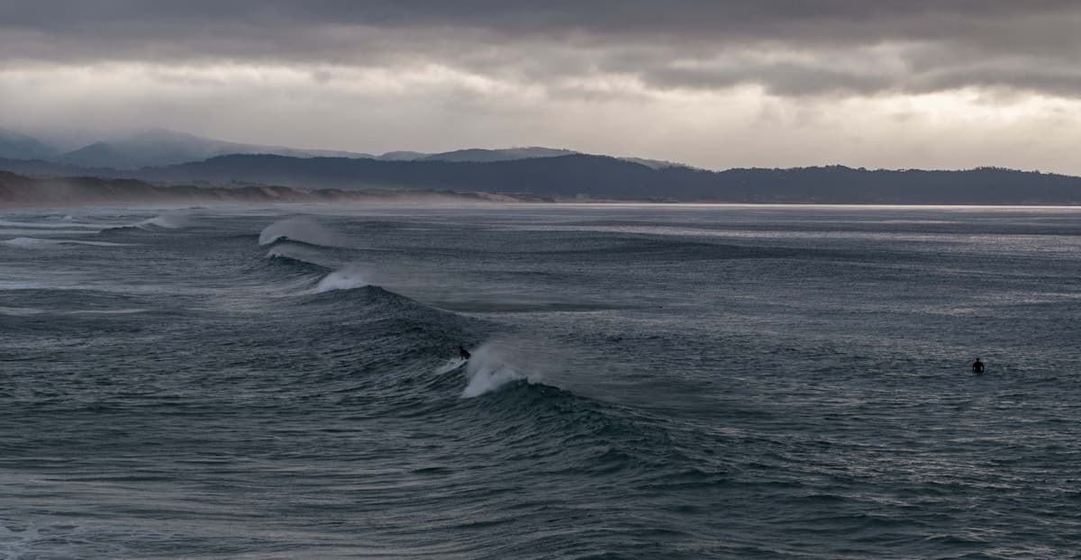
Buoy Networks: NDBC and CDIP Ground-Truth the Models
NDBC maintains roughly 80 buoys along US coasts measuring wave height, period, direction, wind, and temperature every hour. CDIP runs denser networks near Southern California and Hawaii with directional wave sensors for finer detail. Buoys are the ground truth — if WaveWatch III predicts 4 feet at 12 seconds but the nearest buoy shows 2.5 feet at 10 seconds, the model is wrong at that location. Quiver shows both model predictions and buoy observations side-by-side so you can see how accurate the forecast is being at your break.
Buoy Networks: NDBC and CDIP Ground-Truth the Models
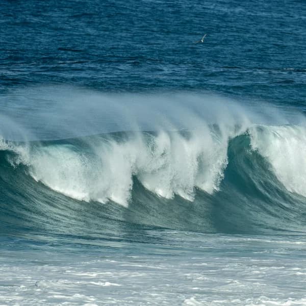
The Nearshore Problem: Why Models Miss the Last Mile
WaveWatch III runs at 30-mile grid resolution. Your local beach is way smaller than that. The model doesn't see underwater canyons that focus swell, headlands that block it, beach slope that changes how waves break, or coastal wind patterns that differ from open-ocean wind. A deep canyon offshore amplifies waves locally. A headland shadows certain swell angles. Sandbars shift week to week. The model misses all of it — sometimes by 1-2 feet or entire wave quality grades. This is the "last mile problem," and it's why buoys and ML corrections exist.
Global models miss local bathymetry, underwater canyons, and coastal wind effects because they operate at 30-mile resolution; buoys and ML corrections fix this.
How Quiver Improves Accuracy: ML Trained on Real Observations
Quiver's ML trains on years of historical buoy observations alongside WaveWatch III predictions. It learns the patterns: when the model predicts 4 feet at your break, observations average 3.5 feet. During offshore wind, model accuracy improves. Certain swell directions interact with local bathymetry to amplify or reduce height. These corrections are unique per break — Rincon's underwater topography focuses swell differently than Malibu's reef. The result is a location-specific correction layer that makes Quiver's forecast more accurate than raw WaveWatch III at your spot.

How Quiver Improves Accuracy: ML Trained on Real Observations
Forecast Accuracy by Timeline
The sweet spot is 0-3 days out: accuracy within ±1-2 feet height and ±2-3 seconds period. At 3-5 days, it degrades to ±2-3 feet and ±3-5 seconds. Beyond 7 days, forecasts are rough estimates — weather chaos takes over. Use the 10-day view to track incoming storm systems and swell trends, but book your sessions from the 3-day window. Check the forecast daily as your session approaches — by day 3, you'll have much better detail on whether that predicted swell is actually coming.
Wave model accuracy is ±1-2 feet for 0-3 days out, ±2-3 feet for 3-7 days, and rough estimates beyond 7 days.
Where Forecasts Still Struggle and How to Account for It
Models miss: extreme coastal winds (sea breezes, katabatic flow), microscale topography (small headlands, rock outcrops), fast-moving cold fronts, and sandbars that shift week to week. A forecast might call offshore but a faster-than-modeled cold front gives you onshore instead.
Account for it: (1) check NDBC buoys 1-3 hours before your session, (2) watch for buoy data diverging from the forecast, (3) learn your break's seasonal patterns, (4) talk to locals who paddle daily. A forecast is a guide, not gospel. Ground-truth it before committing.